If you are like most of our insurance clients, you want tested and proven evidence to support your pricing models. You are committed to growing your business, but not through uninformed risk-taking.
For over 30 years, scientists at Cranfield University have helped insurers, reinsurers, utilities and government bodies identify and mitigate environmental geohazards like subsidence and flooding.
Avoid high risk areas
Identify properties built on subsidence prone soils, in dry regions and in the presence of trees
Identify new opportunities
Most insurers still price at postcode level. By using our higher resolution data you can identify low risk properties within Postcodes.
Gain a long term view
Our climate is changing. See where subsidence will increase under extreme weather or future climates.
Our clients include:
10+ UK insurers and reinsurers
The majority of UK water utilities
Local and national government
Cranfield University developed our understanding of root causes for pipeline failure. Cranfield's industry leading model determines baseline performance from changes caused by soils and weather. Detailed predictive modelling enables proactive infrastructure management and reduced unplanned interruptions to customers.
Tim Acland - Anglian Water
Do these statements resonate with you?
- You need to help your team avoid subsidence risks, but are not an environmental scientist.
- You don't want to waste time or money using the wrong data.
- You want to write more policies, but avoid costly mistakes.
- You want to draw on leading scientific understanding of the environment.
We are here to help your business!
If you think that that soils and subsidence are complex, you're right! There are over 1,000 soil types in the UK, and each responds in a different way to our increasingly volatile weather.
As established research scientists at Cranfield University, we study how soil and weather impacts on buildings and infrastructure. We've helped hundreds of companies cut through the complexity of soils and identify the risks that affect them.
By offering cheaper premiums on low risk properties in high risk regions, you can undercut your competition. You can increase the number of policies on your book without unnecessary additional exposure to geohazards.
We'd be pleased to help you gain a clear view of current and potential subsidence and ground movement risks too.
Here's how to get our help:
1. Get in touch!
Provide us your email address and we'll send you more information about our hazard maps and offer to meet with you to discuss any questions arising.2. Request a 30 day free trial
Experience has shown that insurance companies who try our data, retain our data. Try it out for yourself, risk free.3. Receive a custom fit
Insurance companies are different sizes and they have different risk appetites. We help you customise the data to suit your corporate risk appetite and our flexible pricing structure allows use by companies of all sizes.Why you can trust NPD®
Cranfield University's Natural Perils Directory (NPD) uses the best available spatial data on soils, weather and trees to models subsidence and six other geohazards. We've been working with the insurance industry for almost 25 years, but we're not resting on our laurels.Recently published research behind NPD by Cranfield scientist Professor Stephen Hallett was shortlisted for the 2015 Lloyd's Science of Risk Prize.
The dominant form of subsidence in the UK is clay related shrinkage and swelling. Most clay soils shrink when they dry out, which can cause subsidence. When soils do not dry out evenly, this can lead to even more damaging differential ground movement.
Our tested and proven subsidence maps are based on the answers to 3 key questions:
1. How much does the soil shrink as it dries?
We use Cranfield University's award winning National Soil Map to provide our foundation depth (70-120 cm) assessment of shrink-swell potential.2. Will it be hot and dry?
We use measured (observed) and UKCP09 modelled (projected) weather data to provide a suite of climate models to identify hazard levels under current, extreme and future weather scenarios.3. Will trees affect subsidence?
We use Bluesky's National Tree Map in our calculations of subsidence potential. Most trees in the UK will not increase subsidence risk, but some will. We can help you identify these.
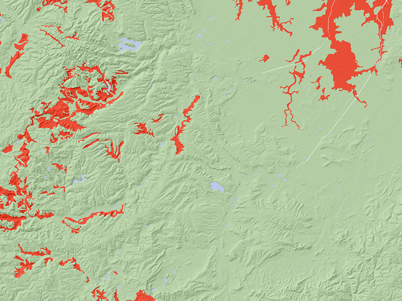
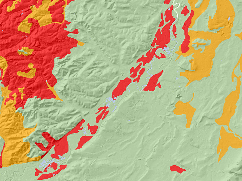
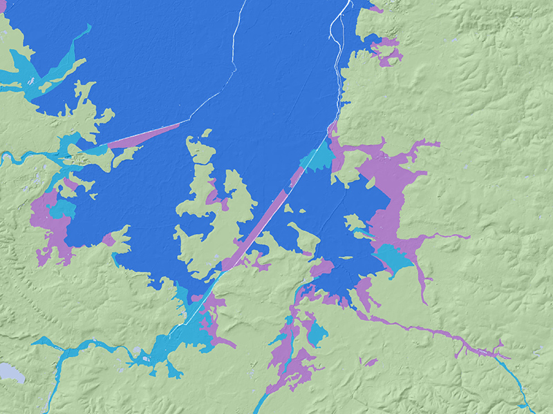
Clay related shrinkage and swelling is the dominant form of subsidence in the UK, but other threats exist as well. We also provide geohazard potential maps for:
- Cavitation
- Peat shrinkage
- Frost heave
- Soft and compressible soils
- Natural flood extent
- Wind exposure
The science supporting our models
Perhaps because we spend a good amount of time assessing our students' work, we want you to be able to assess our work. We don't like black-box systems, so we try to clearly explain to you how we have modelled each risk.
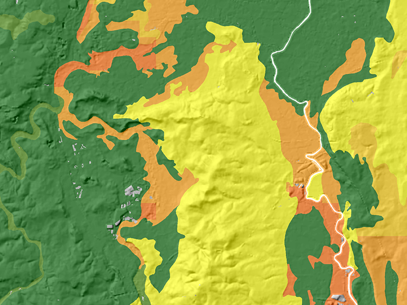
Here is an example of one of the matrices we use to assess clay related ground movement. Our subsidence hazard score (1-9) results from the answer to two questions: 1) can the soil shrink? and 2) how dry do we expect this part of the country to be in the summer?

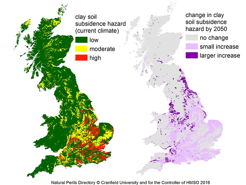
The impact of future climate on subsidence risk
In ourLloyd's Science of Risk Prize shortlisted paper we describe how future climates will increase subsidence hazard across some of the UK. Here's a simplified overview:
What geohazards does the Natural Perils Directory cover?
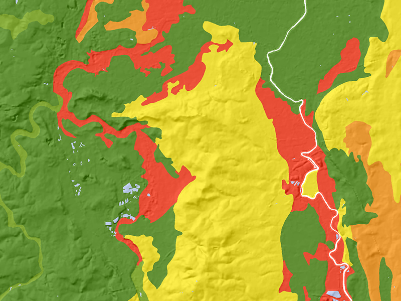
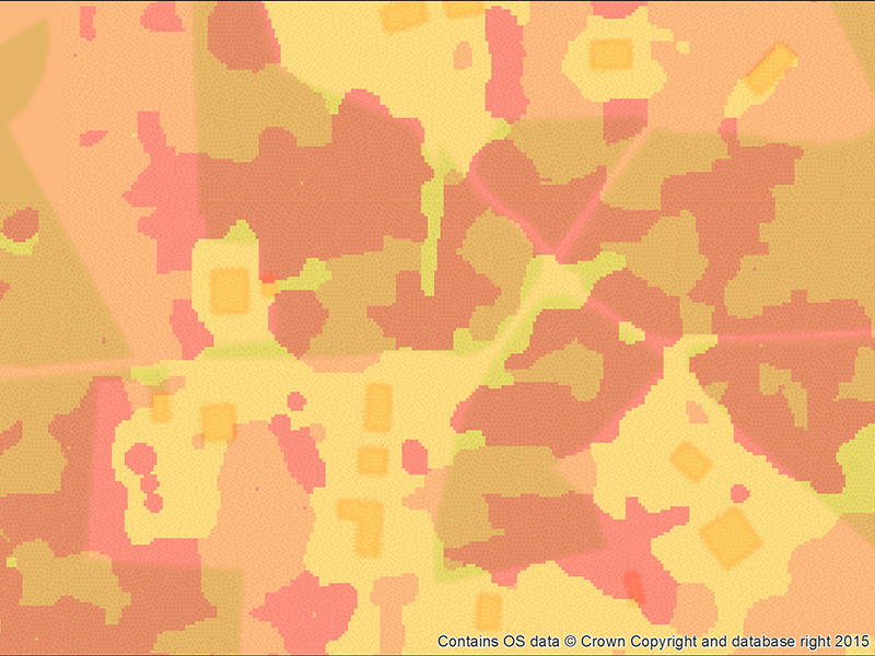
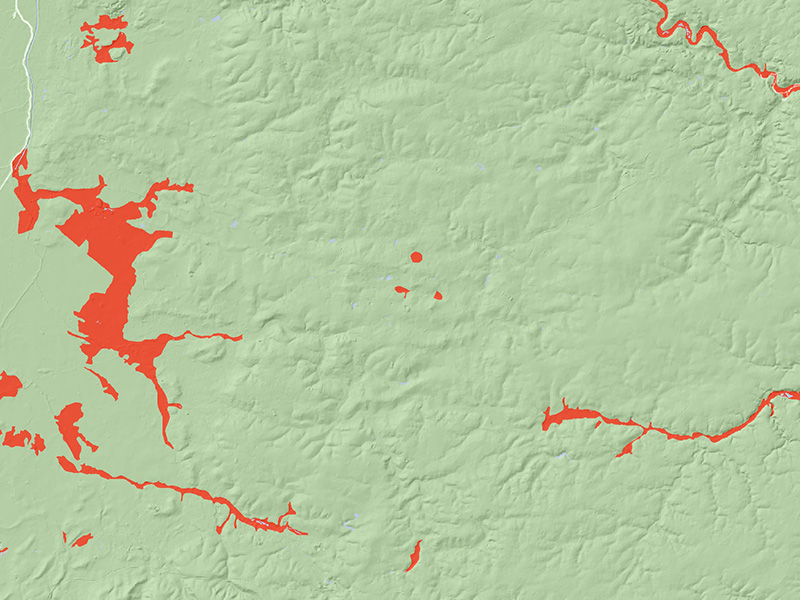
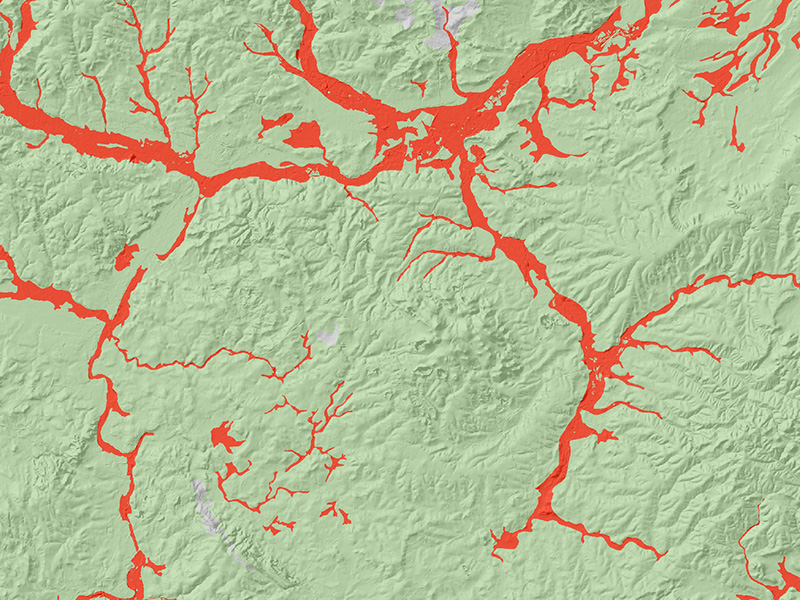
Here's a flavour of some of the NPD data layers which our insurance clients commonly use. Many can be customised to your individual requirements.
Get in touch and find out more
We would love to give you the tools you need to confidently write subsidence insurance. Like our other clients, you too can better serve your customers and increase profits.
If you would like us to send you additional free information on subsidence and how we help organisations like yours avoid risk, or set up a meeting with us, please provide us with your name and email address below, or email us at nsridata@cranfield.ac.uk
FAQ
Frequently Asked Questions
England, Scotland & Wales
Almost certainly yes! We've always succeeded so far in integrating our data with insurance companies systems. Some take more input than others, but we get there!
We have a flexible, annual pricing scheme to ensure that insurance companies, large and small can benefit from our data. We also offer different resolutions of data (postcode lookup tables, address point lookups & full GIS spatial layers). Additional charges apply for the tree-enhanced subsidence models.
If you would like a quote for the Natural Perils Directory, please provide us with an approximate number of policies you wrote last year so that we can offer you the best price.
Find out more about our wider work
The NPD® dataset is developed by staff of the Cranfield University Soil and Agrifood Institure, building on some 80 years of national soil survey and soils expertise. The datasets in NPD are held within our Land Information System, LandIS, one of the largest land and soil information systems of its kind in Europe.
