LandIS Blog
04
2023
World Soil Day 2023, 5 December – showcasing the Cranfield University Soilscapes Viewer tool
UN World Soil Day on 5 December is a vital reminder of the importance of soil in all our lives. Supporting growth of the food we eat; cleaning the water we drink; supporting the foundations of the buildings we live in and the fabric of the world around us. Soil also plays a key role in the story about climate impacts and change – storing huge reservoir of carbon locked in fragile peatlands.
The importance of soil is recognised across the UN sustainable development goals, in particular Goal Two, Zero Hunger. Soil helps us to grow the food to feed the growing population of the planet. Goal number 11 looks at Sustainable Cities. Cities are made sustainable through the services that are provided to them and of course food is one; the ability to build and construct the fabric of cities is important as well. We have Responsible Consumption, Goal 12, and of course the interaction of the climate with the soil as well Goal 13 which is about Climate Action, informed by qualities of the soil. But perhaps the most important of the Sustainable Development Goals for soil is Goal 15 which is Life on Land, and clearly the soil there plays a big role in supporting the many forms of life on land.
To recognise the importance of World Soil Day, the Cranfield University soils team have prepared a video to showcase our new Soilscapes Viewer, a web browsing tool to help explore the soils of England and Wales.
Find out more about the Soilscapes Viewer and have a go yourself at: http://www.landis.org.uk/services/soilscapes.cfm
To learn more about soils at Cranfield University, visit: http://www.landis.org.uk
30
2023
Soil Alerts for the Sustainable Management of Soil
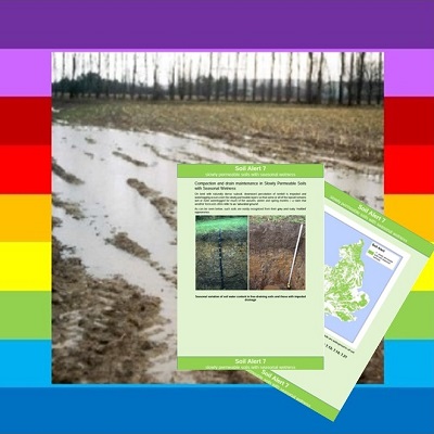
Cranfield University has released a new initiative called “Soil Alerts”. The alerts highlight specific issues pertaining to soil that a Soil Practitioner needs to be aware of to manage their soil in a sustainable way.
The recently introduced Environmental Land Management (ELM) Scheme provides grant aid for a wide range of initiatives for which soil is a key component. These include re-wetting of lowland peat; enabling recharge of aquifers; creation of wet grassland; restoration and creation of heathland; and, moorland management. Land managers, engineers and their advisers may not be qualified soil scientists but they will often have a background in an environmental discipline such as ecology, forestry, hydrology or geology. Soil Alerts are aimed particularly at these types of practitioners who need to be aware of particular aspects of the soils in their care; ignorance of which may affect the outcome of a project.
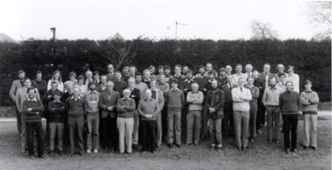
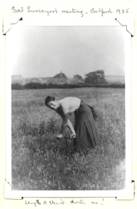
Soil Alerts have been produced by former members of the Soil Survey of England and Wales whose survey work from the 1960s to the 1980s forms the basis of the soil information now available on LandIS and reflects decades of combined knowledge of the soils of those two nations.See more on the LandIS Website
30
2023
The Making Of The Soil
In the 1950s, the Crown Film Unit released a film with direction and photography by J.V. Durden entitled 'The Making of the Soil'. An extraordinary film for its time, the film takes the viewer through the the various aspects of soils - the raw materials constituting soil, the national variations in soil, how the process of weathering leads to soil formation, how materials become transported through the landscape, the role of the glacial history of Britain and the forms of erosion and flood deposits. The film consider the special importance of salt marsh environments, the erosion of rock formations, and the influence of forest trees and other vegetation on soil formation. The film considers the climatic and biological factors affecting soils - such as vegetation cycling of nutrients and the teeming microscopic life in soil. The film then describes the formation of the soil profile, and how soil characteristics are determined, and concludes with a consideration as to the importance of soil in our lives, for example in agricultural production. These are messages as all important today as then.
View the video in our YouTube channel here
04
2023
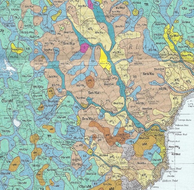
Steve Staines - Cornwall’s soil science pioneer
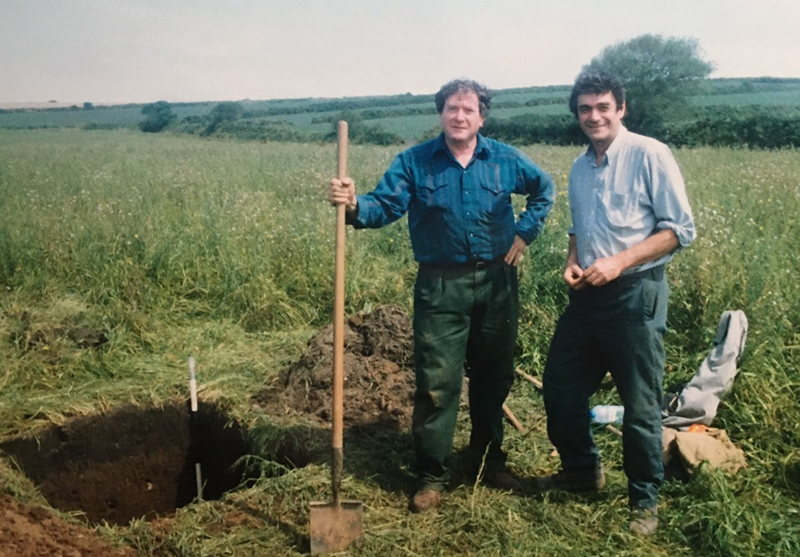
Steve Staines (right) showing Dr Alan Kosse of the UN’s FAO a soil on the Golden Mile
Steve Staines, soil scientist, recently passed away aged 75. He worked from the St Austell office of the Soil Survey of England and Wales in the 1970s, and in that time produced three soil maps and accompanying books (Records) of OS sheets SX18 Camelford, SW53 Hayle and the whole of the Lizard. These remarkable maps published at a scale of 1:25,000, are based on field-by-field auger and pit observations, and exemplify the major landscape regions of the county. The soil maps and accompanying books are not just for agriculturalists, but contain a wealth of information on Cornwall’s soils for rural land managers such as ecologists, conservationists and planners.
Steve’s outstanding achievement was his soil map and book of the Lizard, of which an extract around Ruan Minor is shown here (©Cranfield 2022). It describes the soils across this unique landscape in wonderful detail, with a narrative that appeals to readers from many disciplines. For example, he explains how the wet heathland over serpentine has developed in windblown glacial dust (loess) deposited at the end of the last glaciation, plugging the joints in the rock and creating a surface water table. The phyto-toxic components of serpentine are discussed in relation to vegetation and cropping. He relates the archaeology of the Lizard to its soils, suggesting that the concentration of Neolithic and Bronze Age settlements on the serpentine was due the woody vegetation being sparser and easier to clear than that of the well-wooded slates and shales of Meneage. Settlements migrated to the richer soils of Meneage with the arrival of iron age axes and ploughs. His measurements of exposure and wind speed are contained in a section on climatic variations across the peninsula, and at the end of the book is a chapter on land capability and land improvement.
The Lizard is the focus of a number of conservation and biodiversity initiatives, such as Windmill Farm and North Predannack Downs, and Steve’s map and book explain how the soils have influenced these rare habitats. The insights he provides are an invaluable reference for managers of these and similar wildlife reserves.
The Hayle survey describes the soils of the granite moorlands of West Penwith and the lower slate country to the east with its oceanic climate, renowned for the production of horticultural crops. A fascinating section describes the origin and form of the man-made soils of the Golden Mile between Marazion and Penzance.
The Camelford survey covers the northern fringes of Bodmin Moor with its peaty granite moorlands and slate uplands and represents the only detailed soil map of this important Cornish landscape. It is a haven for wildlife that is rich in archaeology and a source of drinking water. Lately it has become the focus of an inter-agency initiative to halt the degradation of the peat soils.
The three maps provided the foundation for the creation of the 1:250,000 scale soil map of Cornwall, published in 1983 as part of the National Soil Map, with its accompanying book, Soils and their Use in South West England.
All these maps and accompanying books can be purchased from LandIS at Cranfield University – www.landis.org.uk/publications.
17
2022
A celebration of the New Soil Survey Archive at Cranfield University (B121)
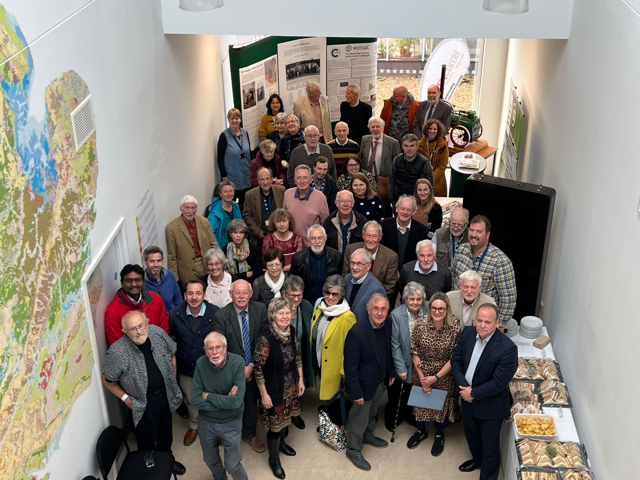
on Wednesday 16 November 2022 we hosted an event to celebrate the new home of the National Reference Collection for Soil. Cranfield University has recently invested in a new facility to host the archive materials collected by the Soil Survey of England and Wales (and Soil Survey and Land Research Centre). The new building has dedicated space for the physical soil samples collected for monitoring and to characterise the soil series of England and Wales. The archive contains published and unpublished soil maps and other supporting material from the surveys including the original field sheets and records. It also hosts a large collection of soil maps and reports in the World Soil Survey Archive (WOSSAC).
This unique and valuable resource was a result of the extensive work and expert knowledge of the Soil Survey team employed by SSEW and SSLRC. We therefore hosted an informal event and lunch in the new soil archive to celebrate the work of the soil survey teams and to thank them for their contributions over the years. We also acknowledged the contribution of Frances Kay, one of the pioneers in the early days of soil survey.
29
2022
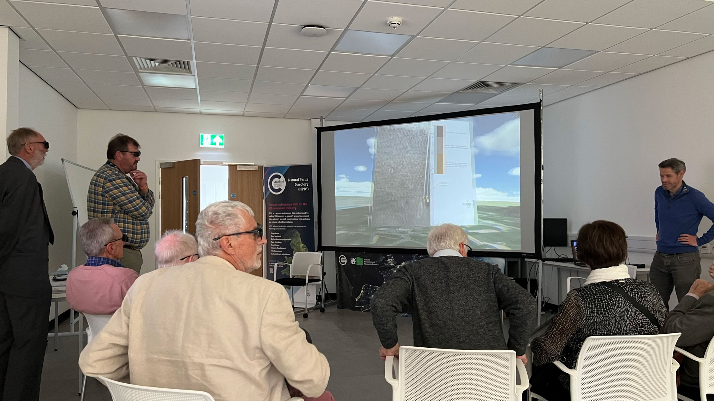
LandIS at the World Soil Survey Congress 2022 Glasgow, 2022
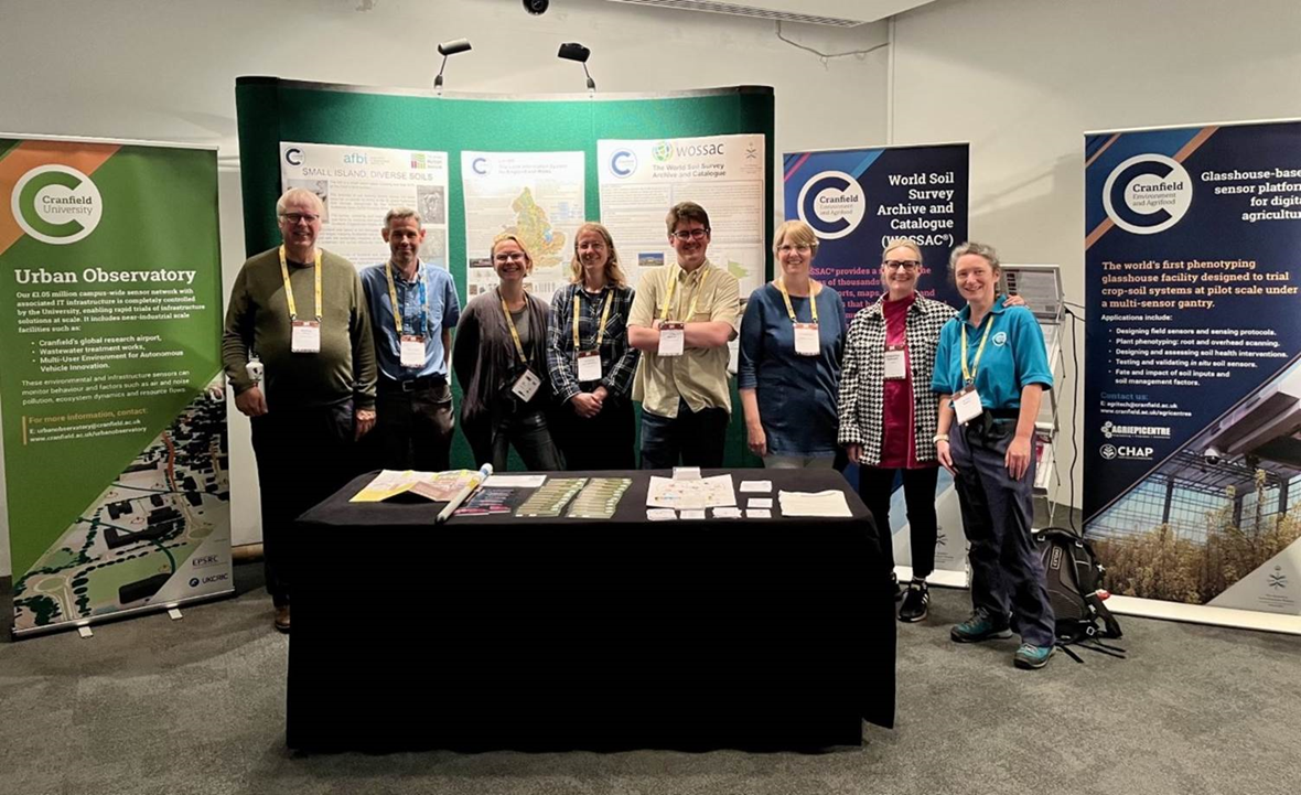
The World Soil Survey Congress is the leading international soil science conference, held every 4 years in different countries and usually attended by over 3,000 soil scientists from around the globe. This year the event was held in Glasgow and was attended by around 1200 delegates with a further 300 attending online.
The Cranfield University Environment and Agrifood team hosted a Cranfield soils showcase event. This included a virtual reality tour of the soils of the U.K. as well as highlighting our novel facilities and the research surrounding these. The WOSSAC archive was featured for the interest of the many delegates who visited our stand.
Recent Posts
