Soil Site Reporter
The Soil Site Reporter is an easy-to-use, online soil reporting tool which produces site-specific soil information with maps and descriptions. As the national authority on the sustainable management of soil resources for England and Wales, we hold a vast collection of soils information, now available in a matter of minutes with the input of a grid reference or postcode.
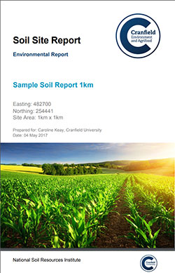
Each report, downloadable in pdf format, provides detailed information on the expected soil conditions at the site and outlines interpretations of the suitability for different uses. A variety of environmental issues such as the potential of damaging ground movement or pipe corrosion and the ease with which chemicals can leach into groundwater or run off into rivers are also included
Those undertaking an environmental impact assessment (EIA) or a strategic environmental assessment (SEA) are required by EU law (85/337/EEC & 2001/42/EC) to identify, describe and assess the direct and indirect effects of a proposed project scheme on the soil environment (the ground) and its functions and composition, as well as and closely-related environmental themes (e.g. groundwater, flora, fauna, landscape).
The Cranfield Soils Site Reporter provides an ideal preliminary reference source for these assessments as it identifies and describes the soils present around a site, and highlights potential issues which should be considered as part of these integrated assessments.
The report describes the interaction between soil and habitats, water movement, and the impact of soil on material assets and cultural heritage in the form of damaging ground movement and conditions. A description of the interaction between these factors is also required by EU legislation.
The inclusion of a Soils Site Report in an EIA or SEA will quickly enable you to understand and communicate the key issues surrounding the soil “land bank” relating to your project, as well as to provide pertinent information on a range of other issues including flood extent vulnerability, geo-hazards and background levels of soil contaminants.
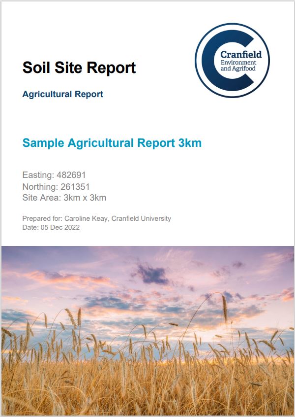
The Agricultural Report has been designed to help farmers manage their land and provides background information that should help develop their applications for the Sustainable Farming Incentive (SFI) scheme introduced by the UK Government in 2022. It is intended to provide an overview of key soil characteristics to help you complete a soil assessment and management plan for the soil standards in the Sustainable Farming Incentive. It also contains additional information about the soils and other risk factors.
Each report contains a range of maps, graphs and schematic diagrams to help describe the soils and their properties at and around the specified point. There are currently three types of report available. The contents of these different reports and their prices are outlined below:
| Soil Report | Environmental Report | Agricultural Report | Extended Soil Report | |
|---|---|---|---|---|
| 1. SOILS - SPATIAL DISTRIBUTION | ||||
| a. Soil Association Distribution | Y | Y | Y | Y |
| b. Simple Topsoil Texture | Y | |||
| c. Natural Soil Fertility | Y | Y | ||
| d. Typical Habitats | Y | Y | ||
| e. Soil Parent Material | Y | Y | ||
| f. Hydrogeological Rock Type | Y | Y | Y | Y |
| g. Ground Water Protection Policy (GWPP) Leaching | Y | Y | Y | |
| h. Hydrology of Soil Type (HOST) | Y | Y | ||
| i. Pesticide Leaching Risk | Y | Y | Y | |
| j. Pesticide Runoff Risk | Y | Y | Y | |
| k. Pesticide adsorbtion | Y | Y | Y | |
| l. Topsoil Texture | Y | Y | Y | |
| m. Organic Matter (%) to 30cm depth | Y | Y | ||
| n. Susceptibility to Compaction | Y | Y | ||
| o. Susceptibility to Topsoil Slaking | Y | Y | ||
| p. Natural recovery of structure after compaction | Y | Y | ||
| q. Mechanical rectification of compaction | Y | Y | ||
| r. Ground Movement Potential | Y | |||
| s. Flood Vulnerability | Y | |||
| t. Risk of Corrosion to Ferrous Iron | Y | |||
| u. Expected Crops and Land Use | Y | Y | ||
| 2. SOIL ASSOCIATION DESCRIPTIONS | ||||
| a. General Description | Y | Y | Y | Y |
| b. Distribution Map (England & Wales) | Y | Y | Y | Y |
| c. Comprising Soil Series | Y | Y | Y | Y |
| d. Component Series Profiles Diagrams | Y | Y | Y | Y |
| 3. SOIL SERIES PROPERTIES | ||||
| a. Soil Depth Information and Depths to Important Layers | Y | Y | ||
| b. Soil Hydrological Information | Y | Y | ||
| c. Available Water Content | Y | Y | ||
| 4. TOPSOIL ELEMENT BACKGROUND LEVELS | ||||
| a. Analysis within a 15 km Radius | Y | |||
| b. Analysis within a 50 km Radius | Y | |||
| c. National Analysis | Y | |||
| Soil Report | Environmental Report | Agricultural Report | Extended Soil Report | |
|---|---|---|---|---|
Prices (exclusive of VAT) |
||||
1 km x 1 km (1 km2) |
£10† |
£20 |
£20 |
£40 |
2 km x 2 km (4 km2) |
£15† |
£30 |
£30 |
£60 |
3 km x 3 km (9 km2) |
£20† |
£40 |
£40 |
£80 |
4 km x 4 km (16 km2) |
£25† |
£50 |
£50 |
£100 |
5 km x 5 km (25 km2) |
£30† |
£60 |
£60 |
£120 |
† We are pleased to offer the report FREE to authorised undergraduate students (BSc, NVQ etc.) and their course teachers.