National Soils Inventory - NSI
Information on the NSI data products

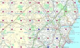
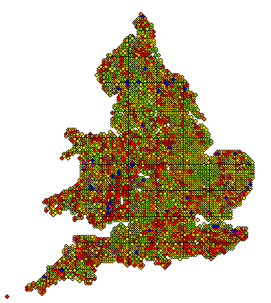
National Soil Inventory (NSI) data is a set of point data. NSI data covers England and Wales on a 5 km grid and provides detailed information for each intersect of the grid. Collectively NSI data are statistically representative of England and Wales soils and they offer a valuable foundation for future monitoring of soil quality. The original sampling was from around 1980 and there have been partial resamplings in the mid-1990s.
NSI site includes erosion, landuse and lithological information. NSI profile gives a very detailed soil description including stone abundance, root descriptions and boundary information. NSI topsoil gives detailed measurements of over 20 elements from the soils, in addition to pH. NSI textures describes the soil texture. NSI features provides depth data to various layers and includes a flood risk indicator.

The list below outlines the key NSI datasets available as specific products.
- NSI Site
- NSI Profile
- NSI Topsoil83 (1983 values)
- NSI Topsoil95 (1995 values)
- NSI Textures
- NSI Features
The NSI dataset represents a unique collection of a vast range of detailed national soils information for England and Wales. Based on a systematic grid, spaced at 5km intervals, the NSI data can be used for geostatisticical analytical methods as well as a more general information source. Recent studies have included the use of this data in modelling carbon loss in soils, as well as sophisticated erosion modelling. This data is essential for those trying to build up a detailed picture, for example, of chemical trends across England and Wales.
Did you know!

The INSPIRE Directive (Infrastructure for Spatial Information in Europe) Technical Working Group for the Annex III spatial theme 'Soil' have adopted the NSI dataset as one of their exemplary case studies representing the deployment of a soil monitoring system. The case study will be presented as a best practice for others to draw upon.
Publications
Key publications involving NSI data
Blundell A., Dearing J.A., Boyle J.F., Hannam J.A. (2009) Controlling factors for the spatial variability of soil magnetic properties across England and Wales. Earth Science Reviews, 95 (3-4), 158-188.
Blundell A., Hannam J.A., Dearing J.A., Boyle J.F. (2009) Detecting atmospheric pollution in surface soils using magnetic measurements: A reappraisal using an England and Wales database. Environmental Pollution, 157 (10), 2878-2890.
Lark, R.M., Bellamy, P.H. & Kirk, G.J.D.(2006) Baseline values and change in the soil, and implications for monitoring. European Journal of Soil Science, 57, 916–921
Lark R.M., Bellamy P.H. & Rawlins B. (2006) Spatio-temporal variability of some metal concentrations in the Soil of eastern England, and implications for soil monitoring. Geoderma, 133, 3-4 363-379.
Bellamy P.H., Loveland P.J., Bradley R.I., Lark R.M. & Kirk G.J.D. (2005) Carbon losses from all soils across England and Wales 1978-2003. Nature, 437, 245-248.
