Soil Associations
0511j STRETHAM
Soil and site characteristics
Deep well drained calcareous clayey soils associated with similar clayey but slowly permeable soils.
Geology
Chalky till
Cropping and Land Use
Winter cereals and other arable crops.
Component soil series
| Subgroup | Series name | Percentage | WRB 2006 link |
|---|---|---|---|
| 5.11 | STRETHAM | 41% | Calcaric Cambisols |
| 4.11 | HANSLOPE | 39% | Calcaric Stagnic Cambisols |
Covers 145 km2 in England and Wales
Soilscapes Classification
| 5 |
Freely draining lime-rich loamy soils |
0511j STRETHAM
Detailed Description
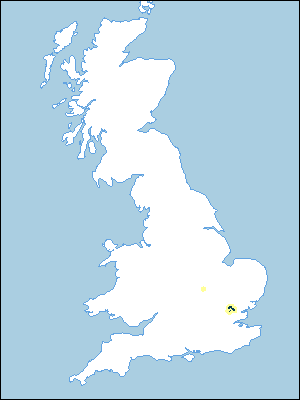
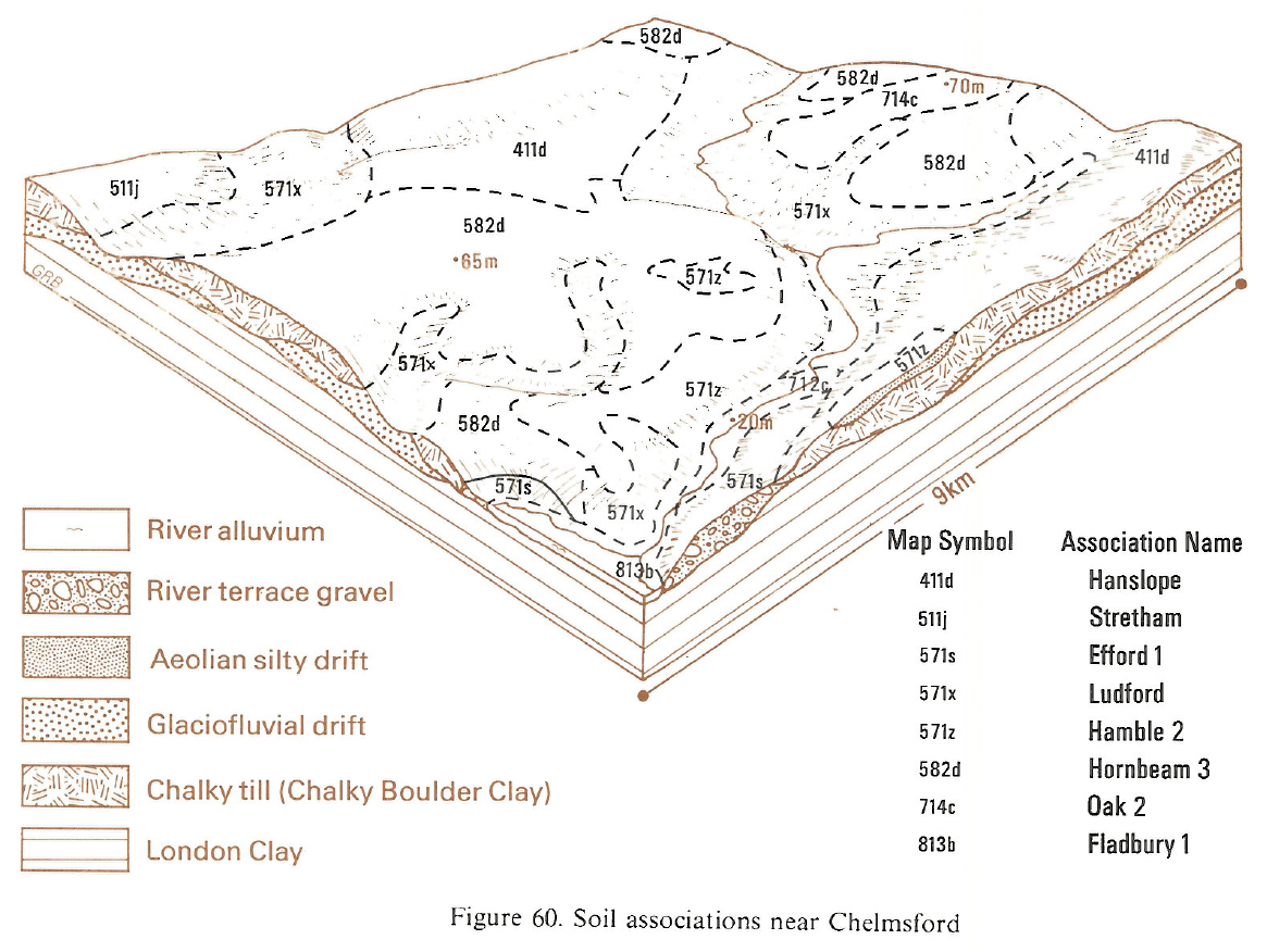
Stretham association on chalky till consists of calcareous, moderately to slowly permeable clayey soils. It covers 138 km² in Essex, west of Chelmsford, and 2 km² flank the river Nene near Wellingborough. The soils are mainly on flat or gently sloping high ground. Stretham series, typical brown calcareous earths, and Hanslope series, calcareous pelosols, are both clayey and calcareous and each covers more than one-third of the land. Stretham series is the main soil in Northamptonshire. The naturally non-calcareous Faulkbourne series, similar to the Hanslope series, is a minor component. In places the soils are fine loamy and Cannamore series occurs. The soils of this association are generally more permeable than those of neighbouring associations on chalky till. The component Hanslope soils are waterlogged for shorter periods than usual elsewhere. This is partly because the till overlies gravels and is very chalky and partly because the soils are siltier than usual from additions of aeolian silty drift. Subsoils are often browner than is common on chalky till, which may be partly due to incorporation of London Clay into the till matrix.
Soil Water Regime
Stretham soils are moderately permeable and are waterlogged for short periods in winter (Wetness Class II). Hanslope series is waterlogged for a rather longer period but because of the climate and good subsoil structure this does not exceed three months in a normal year (Wetness Class II). Stretham, Hanslope and Faulkbourne soils have moderate waterholding capacities so that they are slightly droughty for cereals, oilseed rape and sugar beet. They are moderately droughty for potatoes and very droughty for grass.
Cropping and Land Use
Although clayey, both Stretham and Hanslope series are relatively easily worked. There are ample days in most years for working the land in both autumn and spring and the soils are suited to minimum or reduced cultivation techniques. In wet springs, however, opportunities for landwork are limited. The cropping is dominated by winter cereals, primarily wheat which is sown on over half the arable land. There is some spring barley, small areas of oilseed rape and sugar beet, and some maincrop potatoes. The area under grass is very small. Nutrient status is generally good, that of phosphorus depending upon past management.
0511j STRETHAM
Distribution Map
 |
Note that the yellow shading represents a buffer to highlight the location of very small areas of the association.
Keys to component soil series
Eastern Region
 |
Typical Landscapes
Eastern Region
 |
All information Copyright, Cranfield University © 2025
Citation: To use information from this web resource in your work, please cite this as follows:
Cranfield University 2025. The Soils Guide. Available: www.landis.org.uk. Cranfield University, UK. Last accessed 25/04/2025
