
Soil Associations
0541D OGLETHORPE
Soil and site characteristics
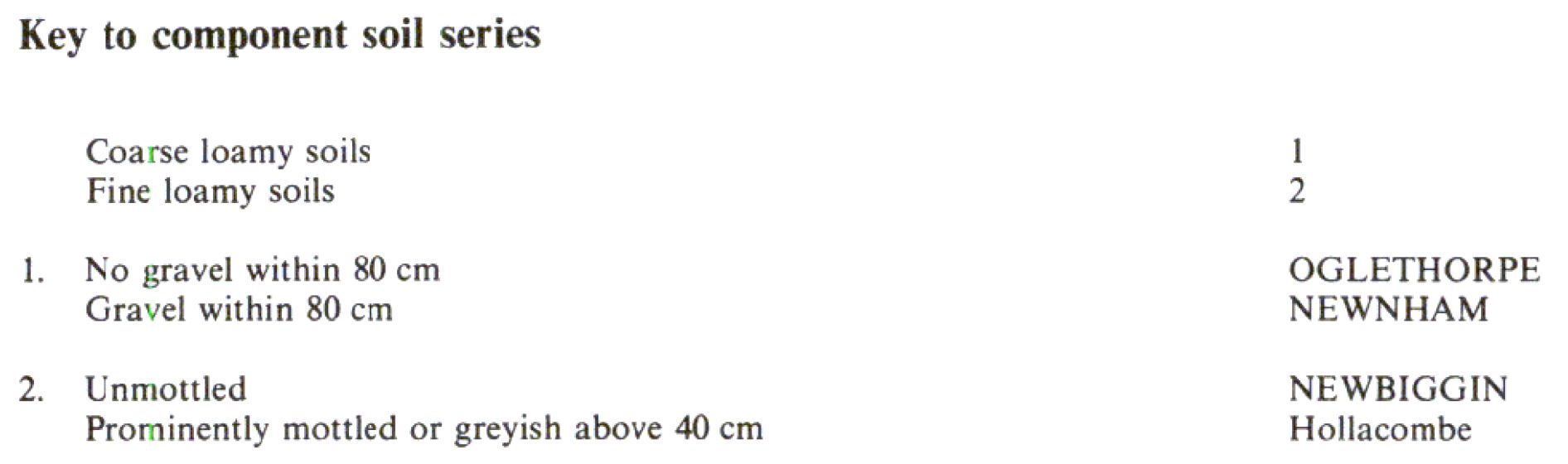
Deep well drained reddish coarse and fine loamy soils. Some similar but shallower soils over gravel.
Geology
Reddish drift
Cropping and Land Use
Dairying on short term and permanent grassland; stock rearing on high ground.
Component soil series
| Subgroup | Series name | Percentage | WRB 2006 link |
|---|---|---|---|
| 5.41 | OGLETHORPE | 50% | Eutric Chromic Cambisols |
| 5.41 | NEWNHAM | 20% | Eutric Endoskeleti-Eutric Cambisols |
| 5.41 | NEWBIGGIN | 20% | Eutric Chromic Cambisols |
Covers 179 km2 in England and Wales
Soilscapes Classification
| 6 |
Freely draining slightly acid loamy soils |
0541D OGLETHORPE
Detailed Description
The three main soil series in the Oglethorpe association are all typical brown earths in reddish drift. It is mapped in Wales around Brecon and west of Chepstow and in Lancashire, Northumberland and Cumbria. The land is generally undulating and the drift is mostly till, but there are some gravelly glaciofluvial deposits. The Oglethorpe soils are coarse loamy but similar fine loamy Newbiggin soils are also common. Topsoils and subsoils are generally reddish brown with fine subangular blocky structure and common or many medium and large sandstones increasing in abundance with depth. Where subsoils are gravelly within 80 cm depth the Newnham series is found and this is a common associate. The association is most extensive south of Brecon between the Usk and the Brecon Beacons at heights from 100 to 300 m O.D. Newnham series is most common in the main valleys where there are hummocky glaciofluvial deposits and river terraces. Cambic stagnogley soils, Hollacombe series , are rare associates in rushy or wooded depressions.
The association is found on glaciofluvial mounds north-west of Berwick-Upon-Tweed and there is a small area near Flookburgh in south Cumbria which was included in the Winmarleigh association by Hall and Folland (1970).
Soil Water Regime
The soils are permeable, naturally well drained (Wetness Class I) and readily absorb winter rainwater.
Cropping and Land Use
The annual rainfall ranges from 1,000 mm in Gwent to about 1,500 mm on the flanks of the Brecon Beacons, corresponding to field capacity periods ranging from 215 days to more than 270 days. With little risk of poaching because of the coarse textures these are valuable grassland soils, used for dairying at lower elevations and livestock rearing on higher ground. Some cereals are grown in Gwent, but otherwise there is little arable apart from forage crops because cultivation is restricted by the climate and widespread presence of large stones in the topsoil. Soil depth ensures good reserves of available water, usually more than 125 mm, so the soils are not droughty in most years when soil moisture deficits are around 80 mm. Many tree species grow well and enhance the scenic value of the land in the Brecon Beacons National Park.
0541D OGLETHORPE
Distribution Map
 |
Note that the yellow shading represents a buffer to highlight the location of very small areas of the association.
Keys to component soil series
Wales
 |
Typical Landscapes
Wales
All information Copyright, Cranfield University © 2025
Citation: To use information from this web resource in your work, please cite this as follows:
Cranfield University 2025. The Soils Guide. Available: www.landis.org.uk. Cranfield University, UK. Last accessed 25/04/2025
